
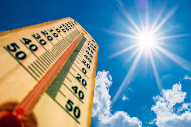
Get those air conditioners ready.
A warmup is expected to kick in with temperatures in the low-80s by Wednesday and the mid- to upper-80s by Friday.
Seemingly gone for good are the below normal temperatures that brought frost potential earlier this month.
“We’re coming off a period of cold weather due to upper troughing. Now, we’re moving into a period of warm weather because of upper ridging,” said meteorologist Pat Herald at the National Weather Service in Moon.
For those not familiar with the terminology, a trough is an elongated area of relatively low pressure that brings colder temperatures. A ridge is an elongated area of high pressure. Air in a high pressure area compresses and warms as it descends, which means warm and dry weather for the area in the immediate future.
Herald said up to now, it’s been colder than normal for the month of May.
“We’ve had some frost potential and I believe we had an early month freeze,” he said. “In general, the colder weather is being replaced and that’s normal for springtime. We’re in for a warm season week. By Wednesday, I think the majority of the upper Ohio Valley will be in the low 80s. By Friday, a couple of places may see 87 or so.”
As for the Memorial Day Holiday next weekend, the upper ridging or warm weather is expected to continue.
“A small chance of rain is projected but that’s still pretty far out,” said Herald.
The better news is that no slide back into cold weather is expected anytime soon.


