https://mirror.triblive.com/local/regional/intense-storms-high-temperatures-headed-for-western-pa/
Low-pressure system bringing intense storms to Western Pa.

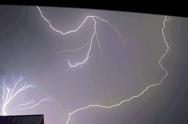
Heavy storms, straight-line winds and tornadoes are roaring through the midwest and some measure of it is headed to the Pittsburgh area.
The good news is that we are not expected to see anything as severe as what happened in places like Illinois and Iowa on Tuesday. But some serious weather is still headed this way.
“The low-pressure system out in the central plains is moving east today,” David Shallenberger of the National Weather Service in Moon said Wednesday. “(We) are not looking at anything anywhere near the type of severe weather we saw out west (Tuesday), but that will be moving in. And even now there are some tornado and thunderstorm watches out in the Ohio area, and that’s going to be moving east, and we could probably start seeing storms move into our Ohio forecast area about 5 or 6 p.m. and about 8 p.m. in the Pittsburgh area.”
Here is the updated timeline for severe weather this evening:The best chances of severe weather will be northwest of Pittsburgh before 8pm. Afterwards, strong to severe storms may persist across PA/WV/OH until ~11pm, until severe chances diminish soon thereafter in the ridges. pic.twitter.com/UrbAdla4Pn
— NWS Pittsburgh (@NWSPittsburgh) April 5, 2023
Wednesdays high will reach near 85 degrees in the late afternoon, with temperatures gradually dropping into the mid 50s by Thursday morning.
Shallenberger said the strongest potential storm threat remains to northwest of Pittsburgh. But the Western Pennsylvania area could see damaging winds, and there is the potential for an isolated “weak” tornado as well as hail.
Later Wednesday evening, the main concern will be heavy rain and potential damage and power outages from high winds.
The weather in the area will calm down on Thursday with temperatures in the 50s.
The NWS said the high winds and coming stormy weather are typical for April’s weather patterns.
“It’s spring,” NWS meteorologist Michael Brown said. “Spring across the country usually has some of the strongest systems. So, the lower latitudes are heating up with a lot more sunshine across the area. So, the continent wants to be warmer but there’s still a lot of cold air left over from winter, so you have a lot of strong systems forming.”