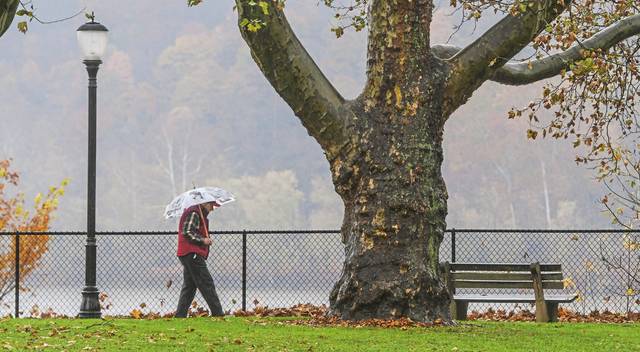
Rainy forecast looms for remainder of winter in Western Pa.
Not again. If the National Weather Service outlook holds true, the region is in for another wet late winter and early spring.
The service’s outlook for February, March and April forecasts above-normal rainfall through early spring, according to meteorologist Lee Hendricks.
Precipitation in February is already beyond typical.
The region has recorded 2.62 inches of precipitation so far this month, which already tops the normal monthly average of 2.39 inches, he said.
The region could follow a pattern of heavy precipitation into early spring. Two of the wettest years on record occurred in the past three years, with 2018 being the wettest at 57.8 inches and 2019 being the third wettest at 52.5 inches, he said.
The long-range forecast is based on a number of factors that can change, including ocean temperatures and other variables, according to Michael Brown, a meteorologist with the National Weather Service.
There are no specific forecast numbers for the long-range forecast, Brown said.
However, the region is expected to exceed the average precipitation of March, which is 2.95 inches, and April at 3.11 inches, according to Brown.
“Given we’re already into the outlook forecast exceeding the typical February precipitation,” Brown said, “the probability of verifying the long-term outlook seems likely.”
In the short term, prospects look bright this weekend with sunny skies and highs in the low 40s on Saturday and partly sunny with highs in the upper 40s on Sunday, Hendricks said.
Remove the ads from your TribLIVE reading experience but still support the journalists who create the content with TribLIVE Ad-Free.

