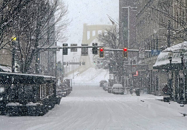
From snow flurries to 60s in a couple of days, this week’s weather is proving to be a late-autumn roller coaster ride.
The National Weather Service is predicting warmer than usual temperatures in the 60 degree or above range through Sunday. It appears to be part of the dry weather pattern the region has been experiencing for the last half year.
The trade-off for the lack of large weather disturbances has been the drought conditions the region is still under.
National Weather Service meteorologist Myranda Fullerton said this is the time of year when just about anything can happen weatherwise. For example, on Nov. 18, 1921, the temperature reached a record high of 77 degrees. On the same day in 2014, the high temperature was 21 degrees.
“Temperatures this time of year can fluctuate very significantly,” said Fullerton, whose office is in Moon. “This is par for the course for us this time of year. It’s part of the seasonal variation as we go from fall to winter.”
For the next several days, however, while it doesn’t look like any records will be broken, temperatures will be above average, according to Fullerton.
“We’ve got building high pressure and that’s why we’re seeing sunshine and that will become more prevalent and temperatures will gradually rise starting Wednesday,” Fullerton said. “Dominant high pressure will remain over the region. In terms of temperature, I don’t see us getting colder like we were (Tuesday) or below average really until maybe mid next week.”
Whether this is summer’s last kiss is anybody’s guess, but it might be a good opportunity to string up the outdoor holiday lights.


