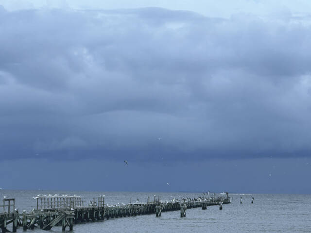


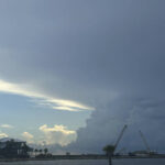

BATON ROUGE, La. — Tropical Storm Francine formed in the Gulf of Mexico on Monday and was expected to drench the Texas coast with rain before coming ashore in Louisiana as a hurricane on Wednesday night.
“We’re going to have a very dangerous situation developing by the time we get into Wednesday for portions of the north-central Gulf Coast, primarily along the coast of Louisiana, where we’re going to see the potential for life-threatening storm surge inundation and hurricane force winds,” said Michael Brennan, director of the U.S. National Hurricane Center in Miami.
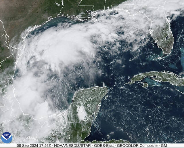
Heavy rain was already falling in northeastern Mexico and deep South Texas, where some places could get up to 12 inches into Monday night, Brennan said. By early Monday afternoon, the hurricane center said the storm was becoming stronger and better organized.
Tropical Storm Francine has developed in the Gulf of Mexico and will not pose a threat to central Virginia. Sadly, remnant moisture we could use will be shut out of our area by a large high-pressure system that will keep us dry through next Monday. pic.twitter.com/XPstdxq8dk
— Travis Koshko (@TravisKoshko) September 9, 2024
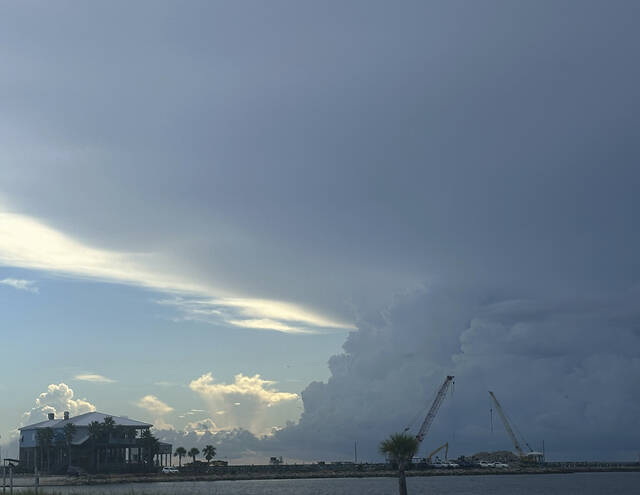
Francine is taking aim at a stretch of coastline that has yet to fully recover since hurricanes Laura and Delta decimated Lake Charles, Louisiana, in 2020, followed a year later by Hurricane Ida. Over the weekend, a 22-story building in Lake Charles that had become a symbol of the destruction was imploded after sitting vacant for nearly four years, its windows shattered and covered in shredded tarps.
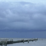
The storm surge pushed by Francine could reach as much as 10 feet along a stretch of Louisiana coastline from Cameron to Port Fourchon and into Vermilion Bay. And if the current track holds, the storm could blow northward up the Mississippi River, into the Illinois area by Saturday.
“Francine is expected to bring multiple days of heavy rainfall, considerable flash flooding risk,” Brennan said.
#Francine will likely have a small core, and near record Gulf temps, ideal for rapid intensification. It will likely get quite intense.
— Jeff Berardelli (@WeatherProf) September 9, 2024
Luckily there’s strong shear near landfall. So hopefully it will be weakening as it heads in. Still our in house model has gusts ~130mph 1/ pic.twitter.com/CNrZ39Zd2j
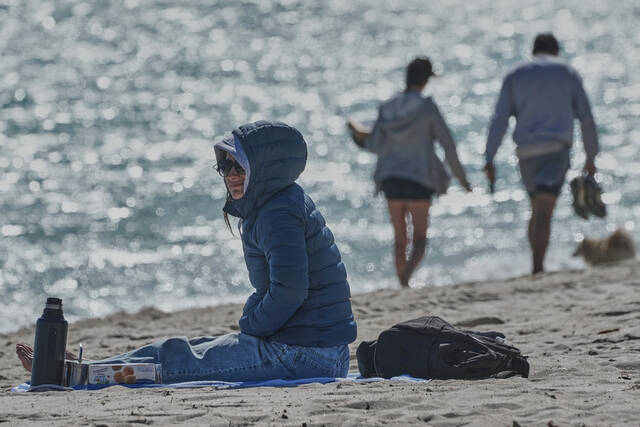
Residents of Baton Rouge, Louisiana’s riverfront capital, began forming long lines as people filled up their gas tanks and stocked up on groceries. Others went to fill sandbags at city-operated locations to try to keep floodwaters from entering their homes.
“It’s crucial that all of us take this storm very seriously and begin our preparations immediately,” Baton Rouge Mayor-President Sharon Weston Broome said during a news conference Monday morning.
She urged residents to prepare a disaster supply kit, complete with enough food, water and essential supplies for three days.
In Grand Isle, Louisiana’s last inhabited barrier island, Mayor David Camardelle recommended residents evacuate and ordered a mandatory evacuation for those in recreational vehicles. Hurricane Ida decimated the city three years ago, damaging almost all of its 2,500 structures and destroying 700 homes.
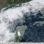
The hurricane center said early Monday afternoon that Francine was located about 180 miles south-southeast of the mouth of the Rio Grande, and about 450 miles south-southwest of Cameron, Louisiana, sustaining top wind of about 60 miles per hour. It was moving north-northwest at 5 mph.
New: there is a 50% chance that #Francine reaches Category 2 or 3 status per an assortment of weather models.
— MyRadar Weather (@MyRadarWX) September 9, 2024
If Francine trends farther east, it will have longer over water and come ashore stronger.
There is an increasing chance of greater impacts and surge. pic.twitter.com/MgvCry81fR
The storm is expected to be centered just offshore through Tuesday, and then intensify significantly from Tuesday night into Wednesday as it nears the upper Texas coast and Louisiana, according to the hurricane center.
A storm surge watch is in effect from the Texas coast near Houston across the entire coasts of Louisiana and Mississippi, while a hurricane watch has been issued for much of the Louisiana coast, from Cameron to Grand Isle.